


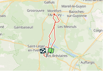


21 km | 25 km-effort


User


FREE GPS app for hiking
 SityTrail
IGN / Geographical institutes
SityTrail World
The world is yours!
Trail Walking of 19.6 km to be discovered at Ile-de-France, Yvelines, Les Bréviaires. This trail is proposed by BMorin91470.
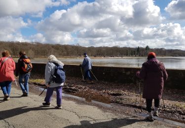
CRAPAHU : Circuit Rando journée
Départ: Croix de Vilpert
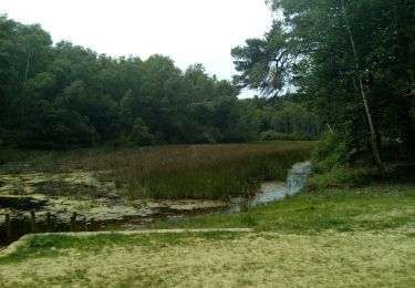
Destination : Montfort l'Amaury (Les Tours) par route de la Croix de Vilpert, Carrefour Judith, Table du Roi, Carrefour de Montaval,Étang de la Porte Baudet, Étang de la Plaine, arrivée à Montfort par la place de la Tripière, montée aux Tours et pique-nique.
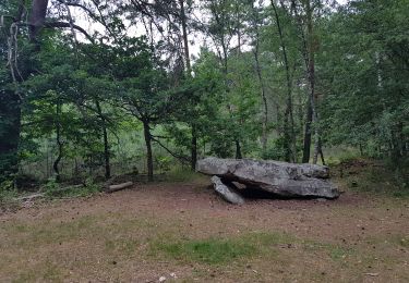
Visite de Montfort: les Tours, le Cloitre et l’Église
Retour vers la Croix de Vilpert par le chemin du poteau, l’Étang de la Porte Baudet, la route Belsédene, la Chaussée de Hollande, carrefour des Mares Gauthier et Croix de Vilpert
Randonnée journée réalisée le 05/05/2019
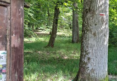
Walking
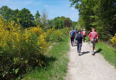
Walking
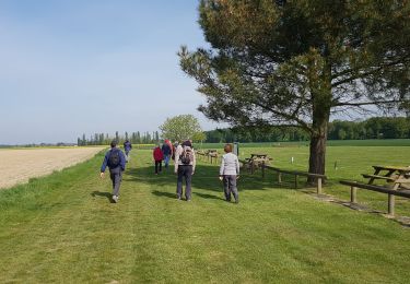
Walking
Walking
Walking
Walking
Walking
Walking
Other activity